Ultra-wide 0.09–160 m range, a continuous altitude reference for high-altitude work
A vision-based altitude-hold solution for high-altitude work such as bridge and high-rise inspection. With its ultra-wide 0.09–160 m range and 1% repeatability, the LQ-V72 provides a continuous altitude reference throughout GPS-denied high-altitude environments.
Construction. Bridge- and high-rise-inspection drones often work under decks, on tower bodies and outside curtain walls, where GPS multipath and blockage are severe and barometers drift under deck turbulence. Binocular vision uses ground texture as the reference and outputs relative altitude directly, keeping inspection drones in stable hover and constant-offset proximity between steel girders and on super-tall facades. (Bridge inspection / high-rise inspection / constant-offset proximity)
Energy & Power. Transmission-line inspection and wind-turbine blade checks are equally far from any ground reference, with complex blockage near towers and blades. The vision module is purely passive — no electromagnetic emissions, no satellite dependency — and coexists peacefully with tower-mounted inspection equipment. (Transmission towers / wind blades / EMI immunity)

Continuous coverage across the whole altitude range
The 0.09–160 m range spans ground level up to 100 m, so a single module covers climb, cruise and descent with no need to switch sensors.Stable high-altitude altitude hold
1% repeatability keeps altitude data steady during hover and constant-offset proximity; absolute accuracy degrading with distance does not affect hover stability.High-altitude tuning guidance
Official tuning notes for high-altitude work: reduce the maximum tilt and acceleration, and raise the EKF visual-noise parameters with altitude — practical guidance for real deployments.
Construction

Energy & Power
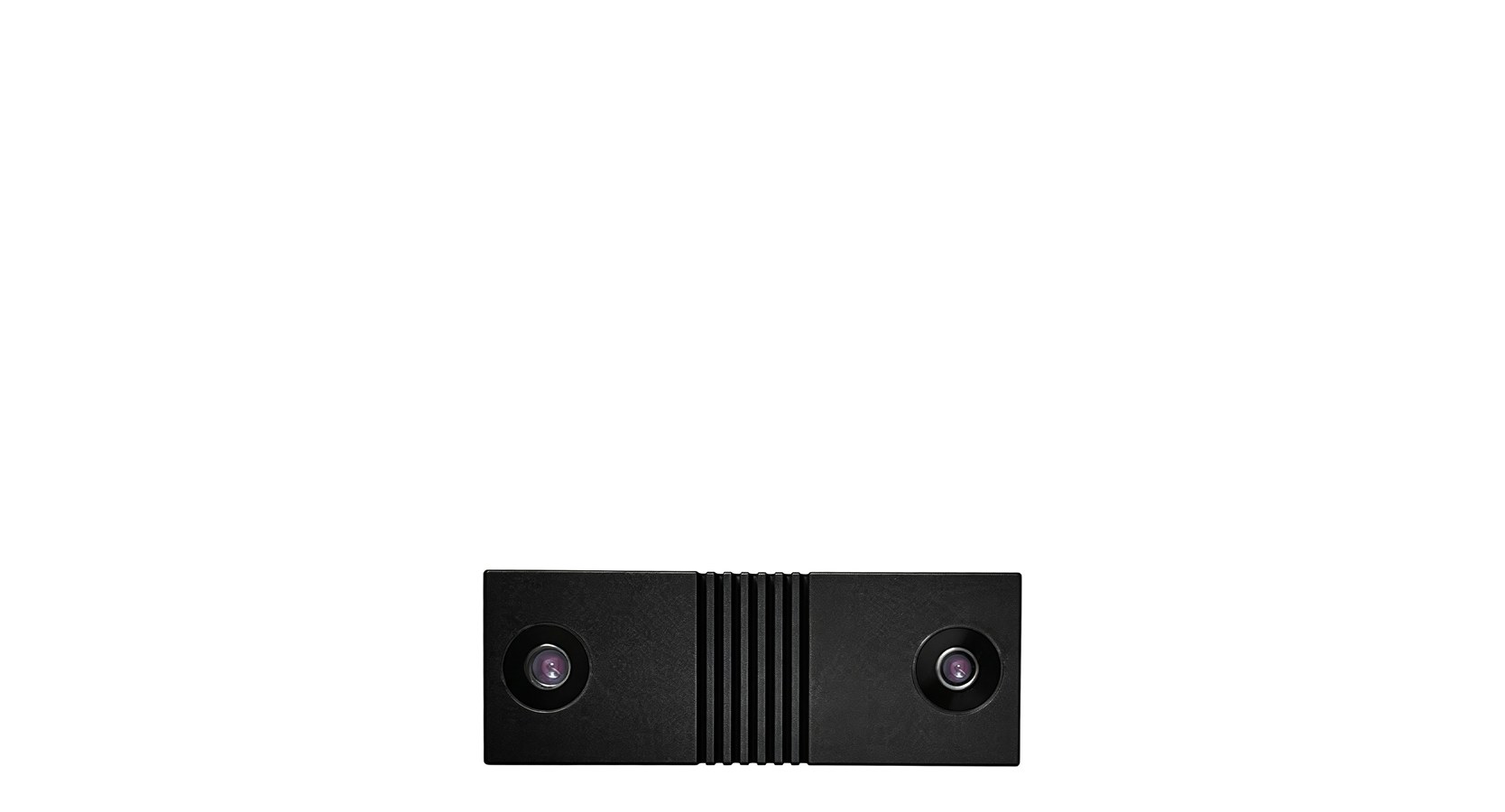
Compact 63×23×12.8 mm body, 0.14–30 m range, indoor and outdoor flight positioning
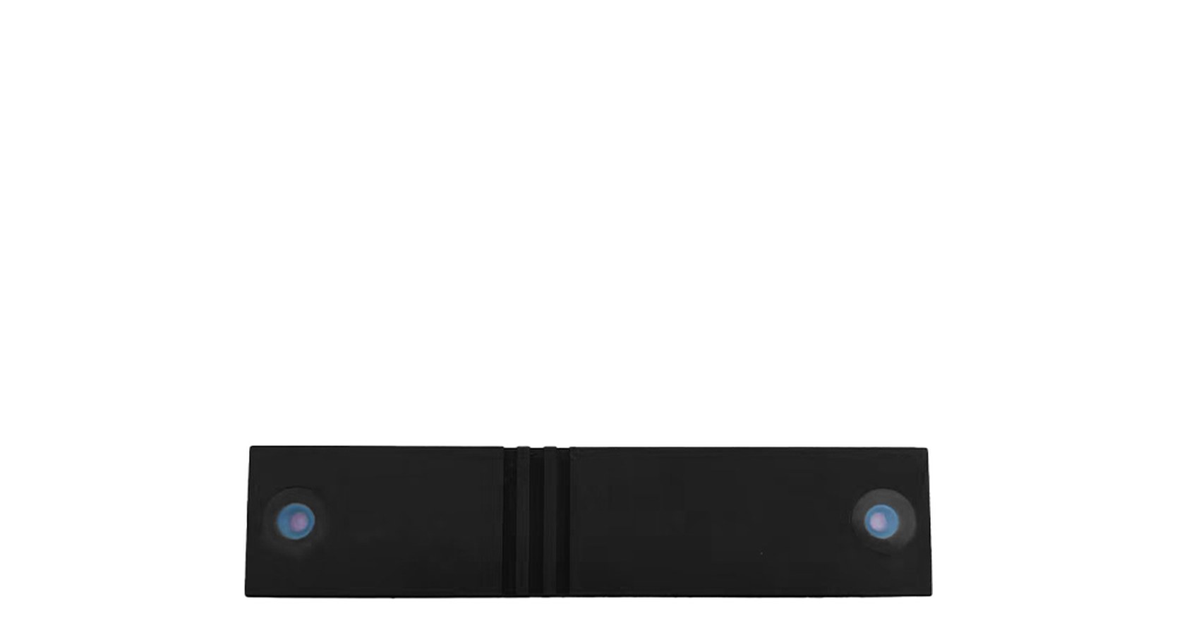
105×23×13.3 mm, 0.4–50 m range, all-scenario indoor and outdoor positioning
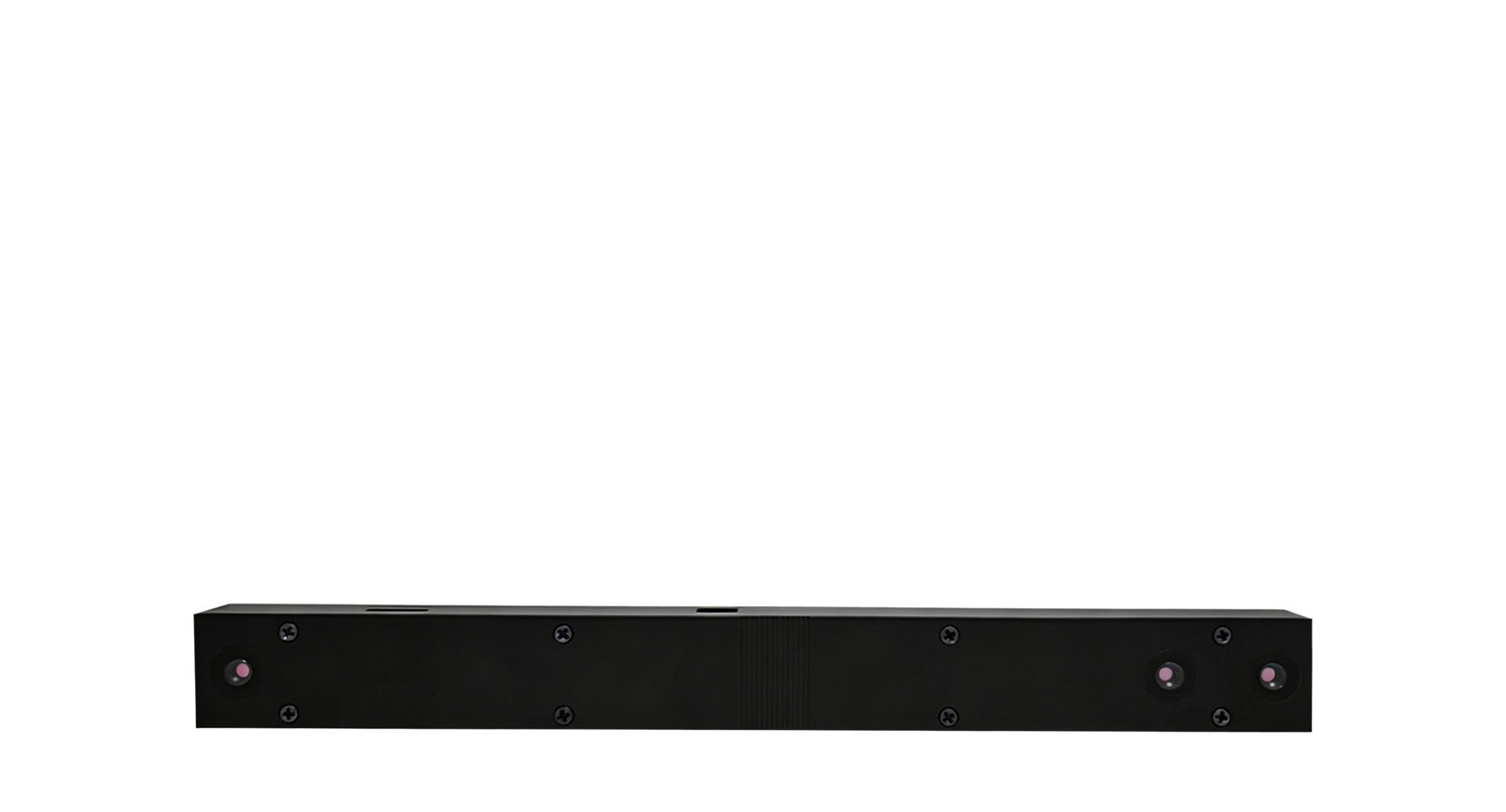
Ultra-wide 0.09–160 m range for high-altitude work and tethered altitude hold